Welcome to the field
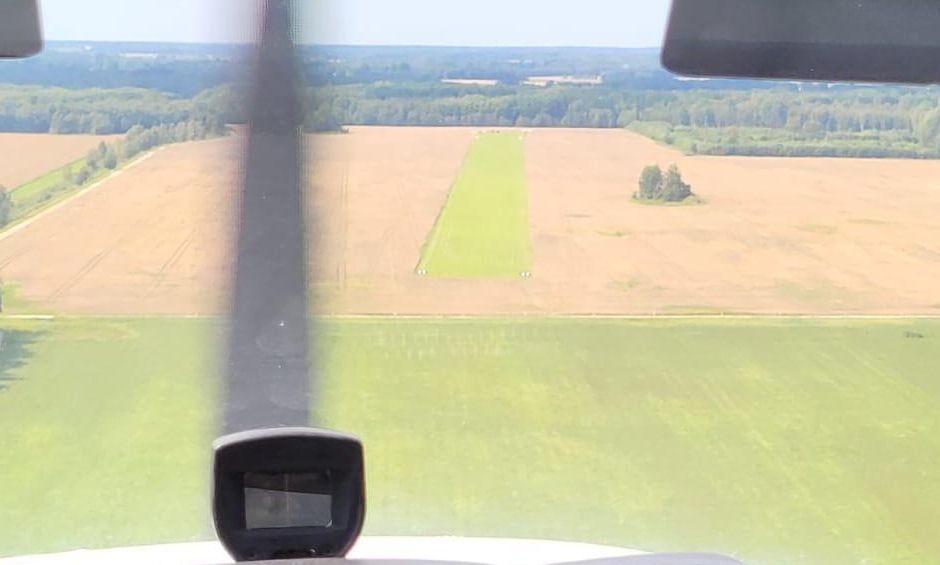
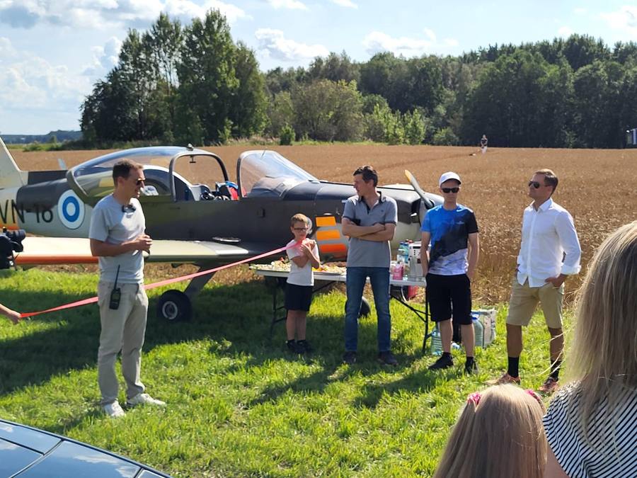
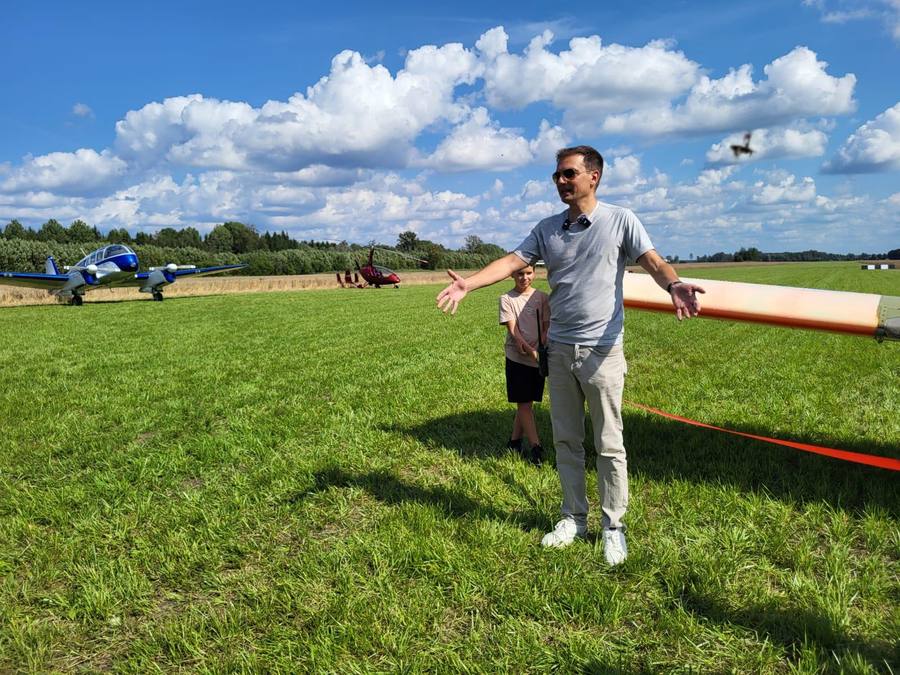
Tallinn West is not a big airport — and that's exactly the point. It's a cosy privately-owned grass airfield set in the beautiful Estonian countryside just west of the capital, a green strip running between golden wheat fields and forest.
If you'd like to fly in, just give us a call first — we'll be happy to have you. Once we get more clarity on registering it as an official airfield, the strip will be made permanent.
Coming by plane
Flight planning
For flight planning and air traffic control, a landing on the field is considered to be at 59,34°N / 24,52°E. EETW is visible both in SkyDemon and ForeFlight.
Field elevation is about 92 ft. Fly the traffic pattern at 1000 ft MSL. The windsock is on the north-west side of the field.
Communication
Official communication is with Tallinn Radar on 127.905.
Don't forget to close your flight plan!
Runway condition
The runway is in good condition and flat, but it is first-year grass with a young root structure. Remind yourself — and execute — a proper soft-field landing and takeoff.
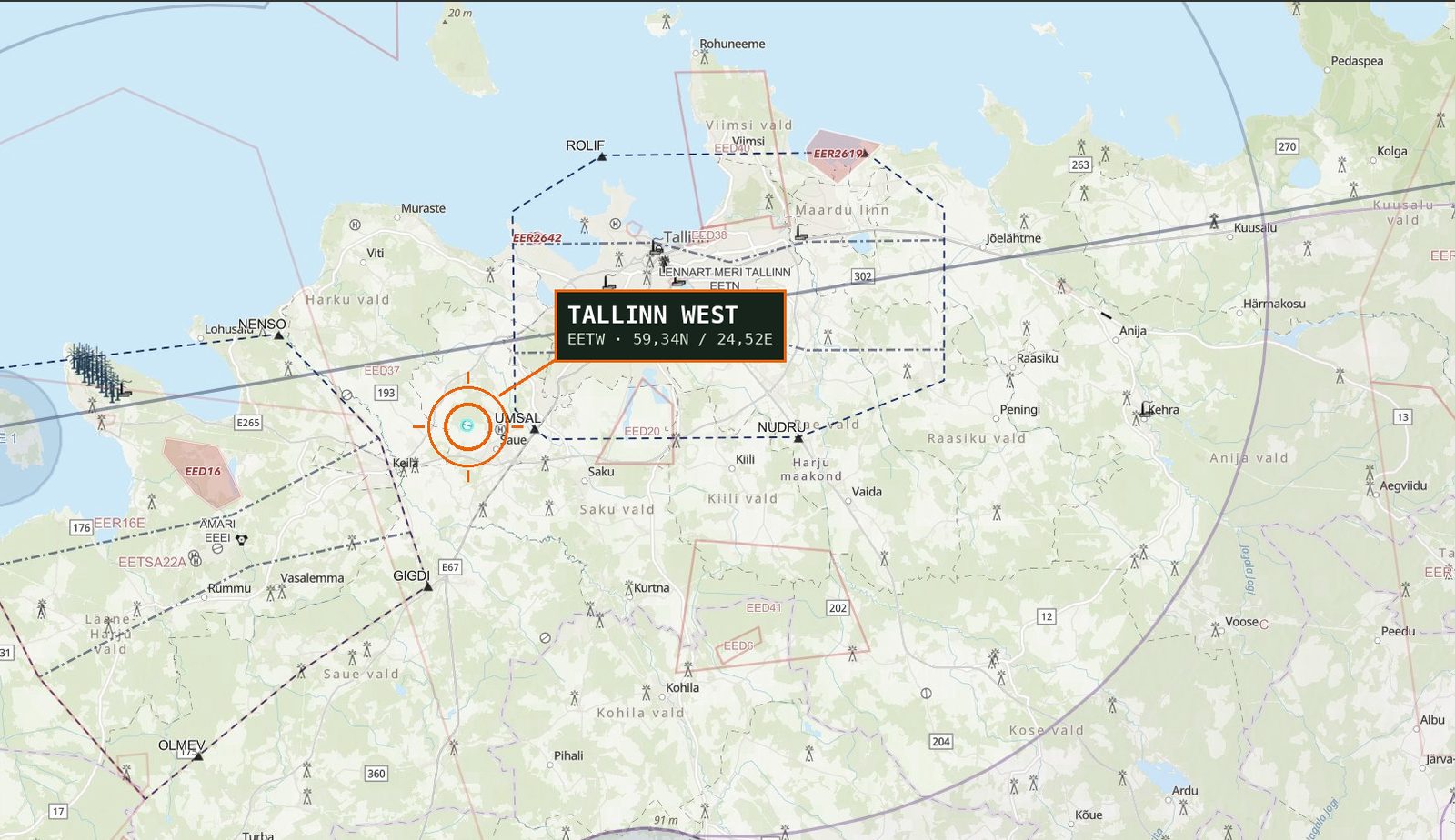 EETW on the Estonian VFR chart · not for official use · source: EANS
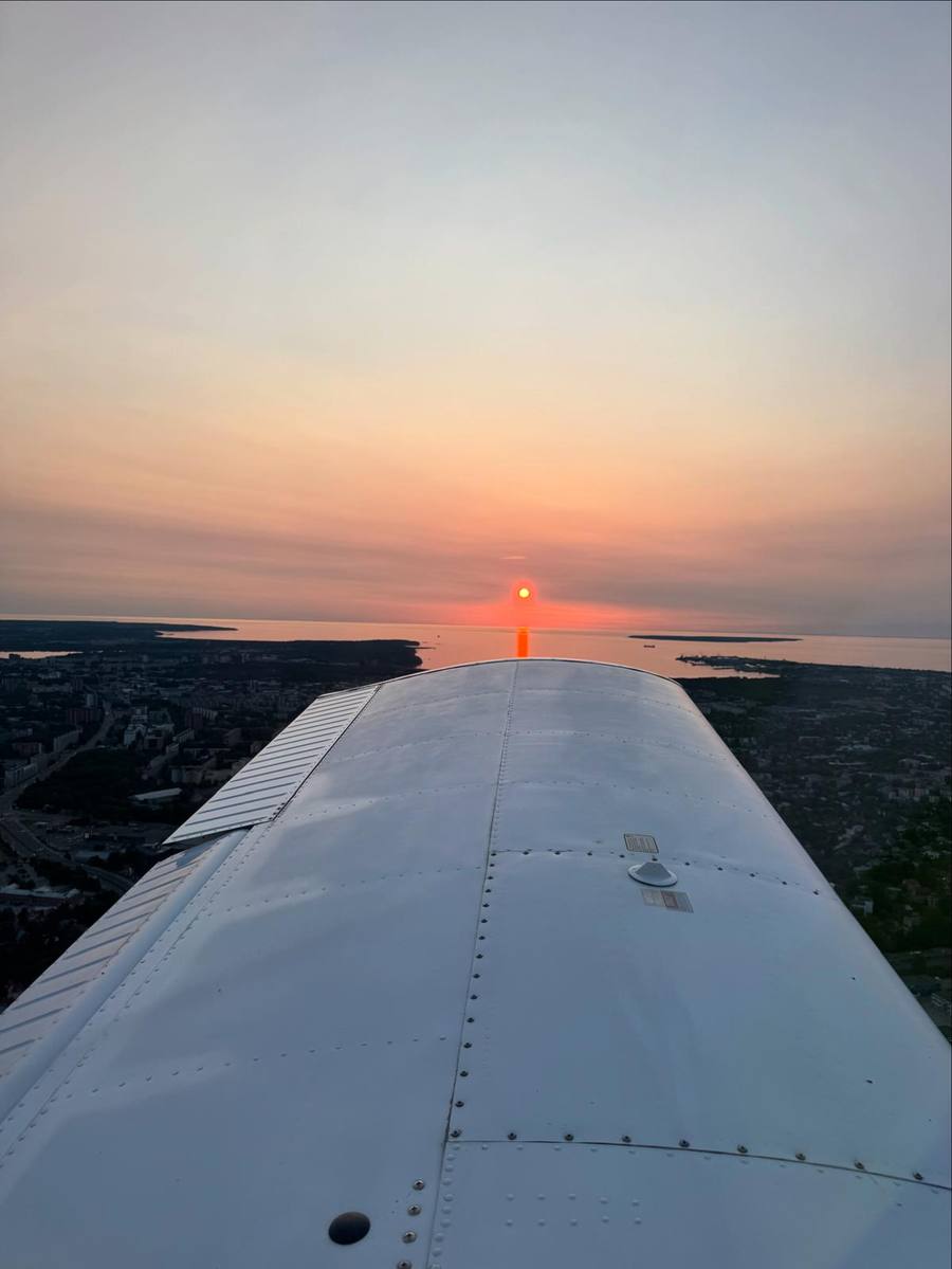
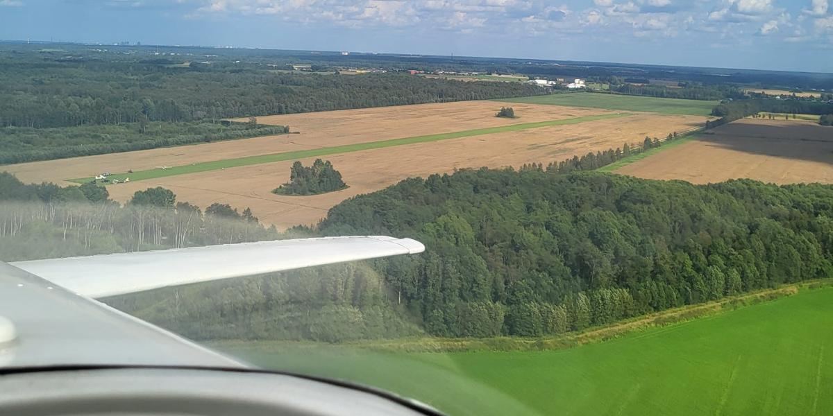 EETW from the downwind — the green strip in the wheat
Runway data
Not to scale · for orientation only
| RWY | TORA | LDA | Surface |
|---|---|---|---|
| 10 | 998 m | 800 m | Grass |
| 28 | 800 m | 998 m | Grass |
Dimensions & obstacles
Runway 998 × 35 metres, magnetic orientation 097°–277°.
There is a tree line 70 m to the west of the threshold.
Parking
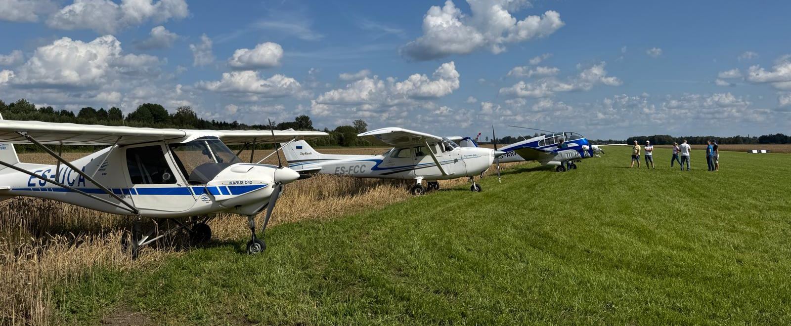
Where to park
After landing, taxi to the west side of the runway and park your plane behind the threshold with your tail into the field.
A security camera is installed for video surveillance, so your aircraft is being watched over while you're away.
Coming by car
Park at the car park: maps.app.goo.gl/c6Y9pNq83rtXrbsH9
From there, start walking on the hiking trail, then turn left, and follow the path that has been cut through the wheat into the field.
Landing & parking
One-time landing fee
15 €
Parking · 24 hours
15 €
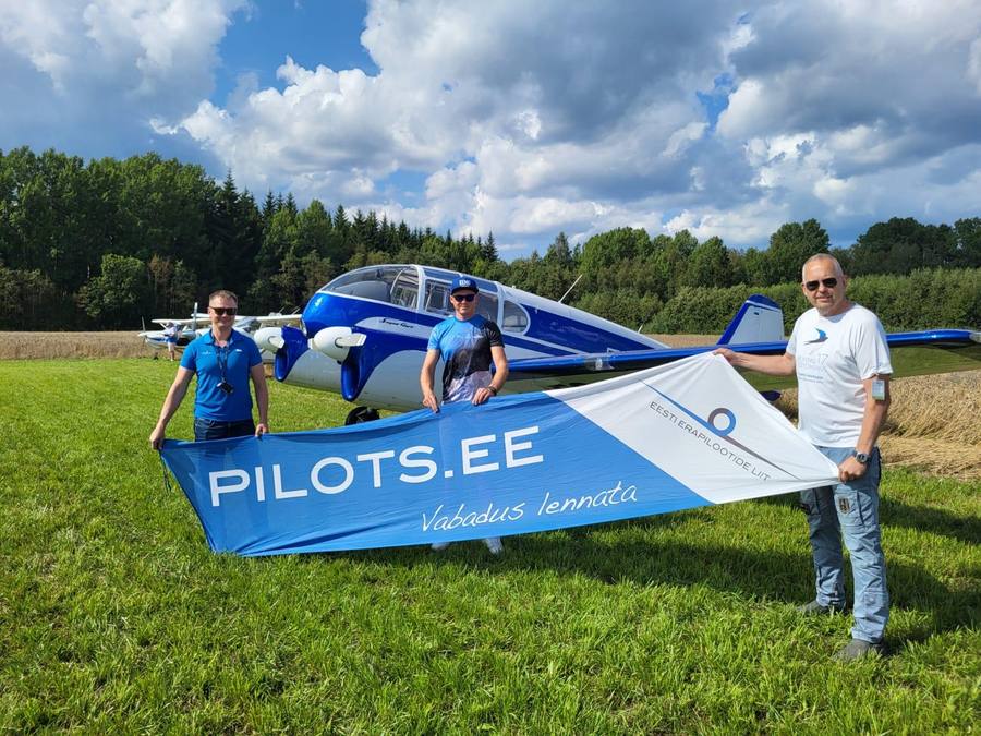
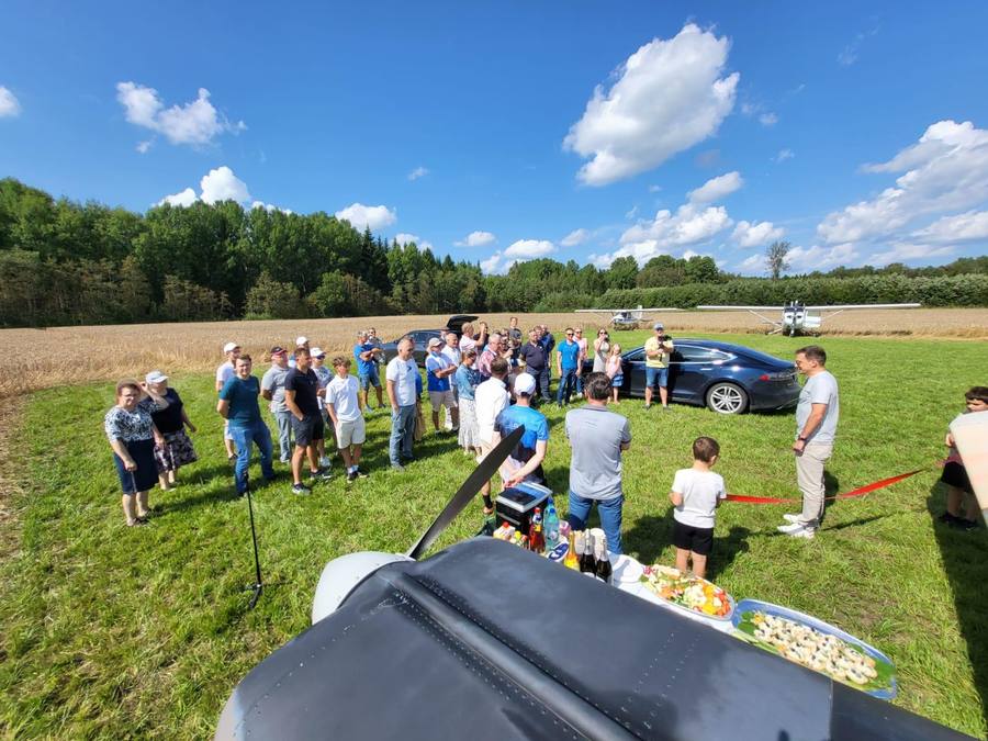
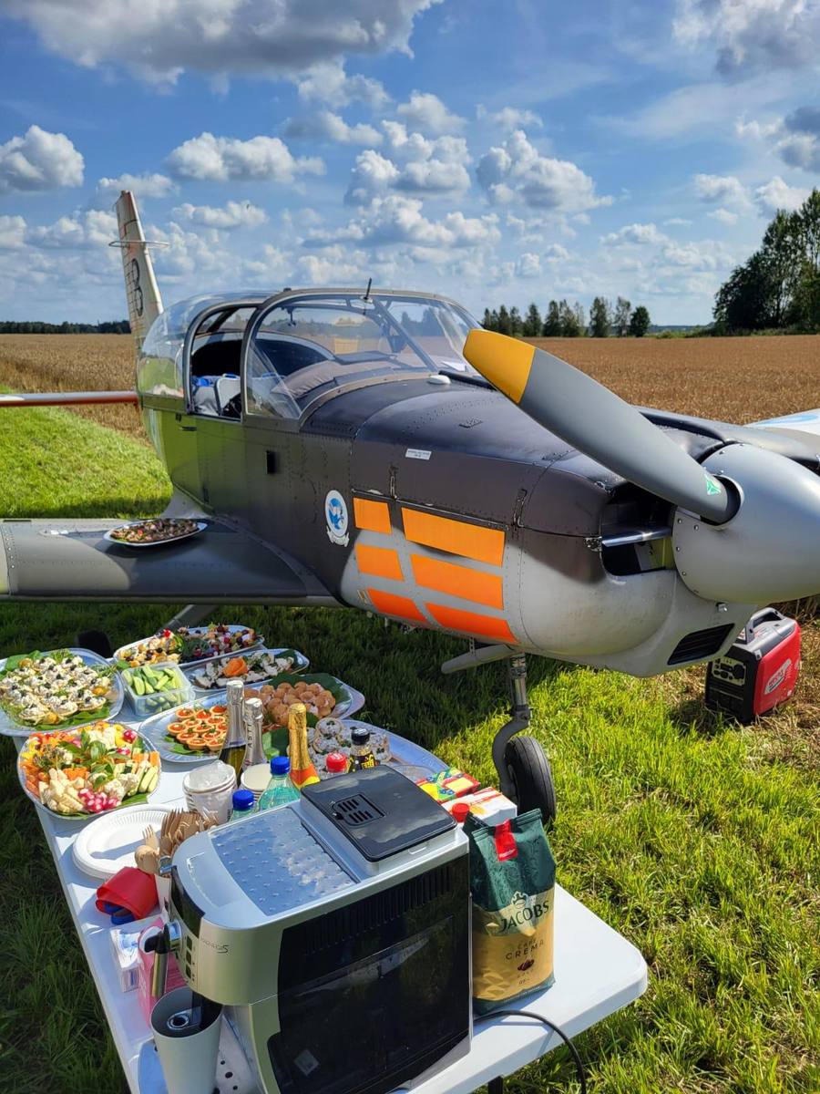
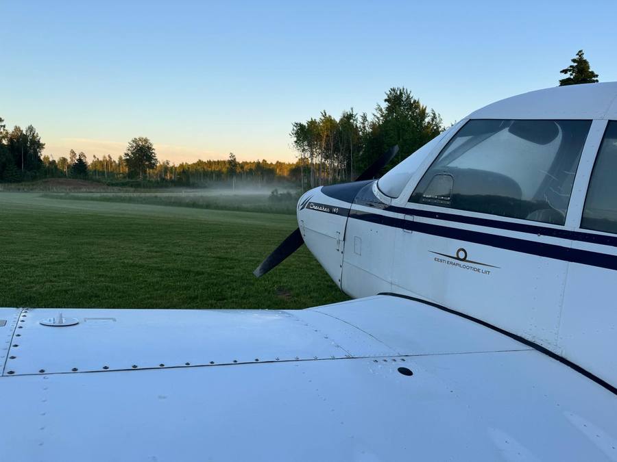
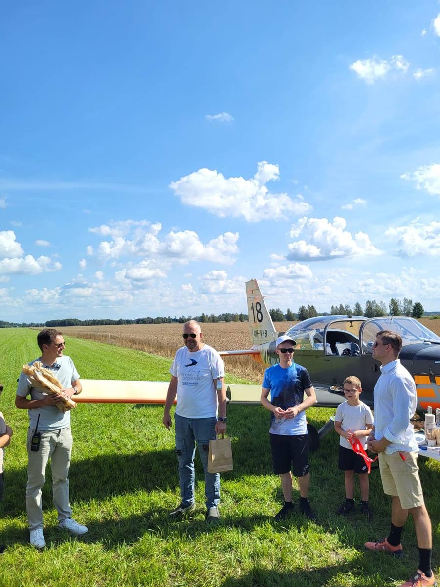
Moments from EETW
Contacts
Prior permission required. Please contact one of us before flying in — we're happy to hear from you: